LLMs Can Do Everything, but Should They?
We tested Claude Opus 5 against Tesseract OCR for reading utility pole serial numbers. The frontier model was more accurate, but a small, purpose-built model was about 40x faster.

Insights on geospatial AI, ArcGIS development, and the work we do at dymaptic. Technical articles, project highlights, and industry perspectives.

We tested Claude Opus 5 against Tesseract OCR for reading utility pole serial numbers. The frontier model was more accurate, but a small, purpose-built model was about 40x faster.

This edition focuses on AI context everywhere: Esri is embedding conversational interfaces, geodemographic embeddings, and Model Context Protocol support into the tools and platforms where GIS teams already work. The roundup also covers Survey123's next-generation apps, a new 3D basemap partnership with Google, and the JavaScript SDK 5.1 release.

Maps don't just show information — they talk. From ASL interpreting to GIS project management, one dymaptic team member explores how language, space, and accessibility intersect in the world of mapping.

The clock is ticking to make sure your maps are compliant with WCAG 2.1.

How dymaptic and Changent built an accessible geospatial storytelling tool to surface health equity insights for all audiences.

New AI-powered tool helps organizations generate accessible, meaningful map descriptions for ArcGIS web maps, dashboards, and StoryMaps.

The Esri updates your GIS team needs to know about this month, brought to you by dymaptic. Covering ArcGIS Maps SDK 2.0, Microsoft integrations, Utility Network tools, 3D visualization, generative AI, and product deprecations.

The Esri updates your GIS team needs to know about this month, brought to you by dymaptic. Covering ArcGIS Enterprise 11.5, product deprecations, JavaScript SDK 4.32, imagery tools, and AI integration.

Not all GIS partners are created equal. Learn what Esri Gold Partner status means, how it benefits your projects, and why dymaptic earned this recognition.

The Esri updates your GIS team needs to know about this month, brought to you by dymaptic. Covering ArcGIS Enterprise 11.4 architecture changes, ArcGIS Field Maps updates, digital twin deployments, and product updates for AutoCAD, Image Dedicated, and Monitor.

Why hexagons work for GIS site suitability analysis. A practical look at using hexagonal grids as a vector-based alternative to raster data, illustrated with a vacation planning scenario.

Diversity isn't just a value at dymaptic, it's how the team solves hard problems.

How dymaptic partnered with the City of Houston to use GIS, GeoAI, and the Social Vulnerability Index to guide equitable sidewalk investment decisions.

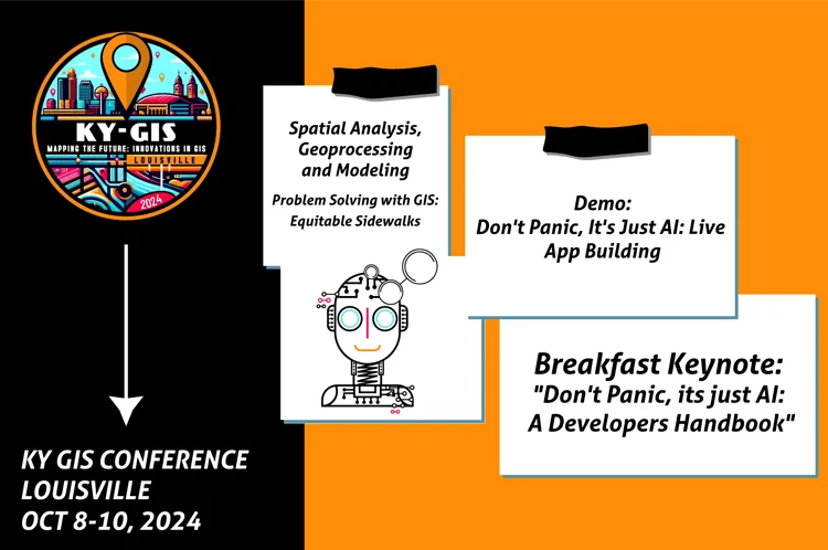
Fall conference season is upon us, and today we're highlighting the dymaptic team attending the Kentucky Association of Mapping Professionals (KAMP) KY GIS Conference, happening on October 8–10 in Louisville.

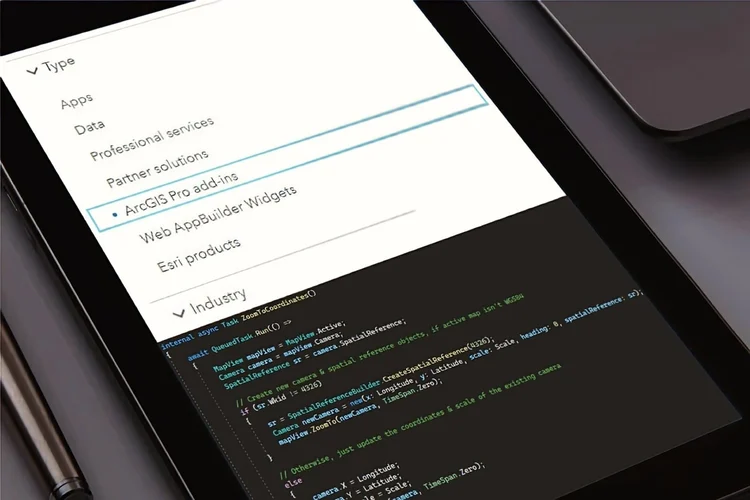
Upgrading from ArcGIS Pro 2.x to 3.x is a major version change that breaks existing Add-Ins. Learn how semantic versioning impacts your custom .NET tools and what it takes to keep them running.

What it means for state and local government agencies seeking trusted GIS expertise.

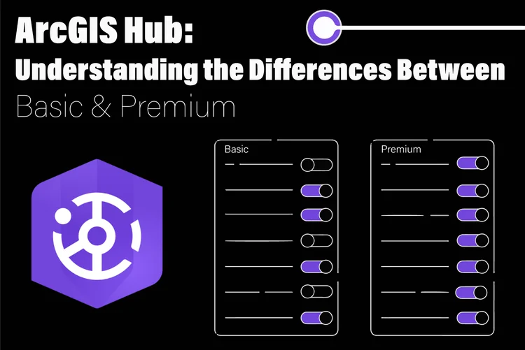
A practical comparison of ArcGIS Hub Basic and Hub Premium tiers, covering community engagement features, external accounts, initiatives, teams, events, and which tier fits your organization.

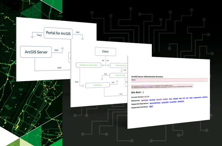
There is an update coming to Google Chrome and Microsoft Edge that will cause part of ArcGIS Portal to break. Find out which versions are affected and what you need to do.

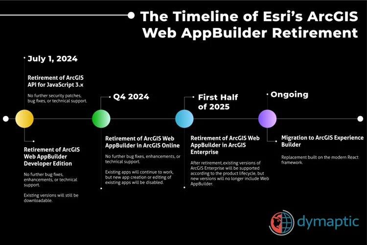
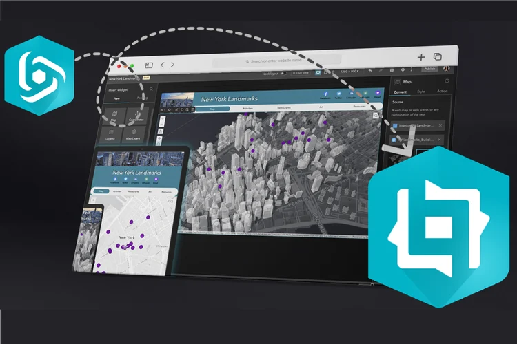
ArcGIS Web AppBuilder retired in phases from July 2024 through the first half of 2025. Here is what that means for your apps and how to migrate to ArcGIS Experience Builder.

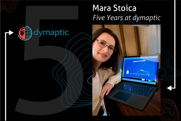
CEO Mara Stoica reflects on dymaptic's first five years, from a team of three to Gold Partner status, and the values driving the company forward.

ArcGIS Monitor 2023.3 can route webhook alert notifications to Microsoft Teams, Slack, and Discord without a Power Automate premium subscription. Learn how to set up a Python Flask web server as a translation layer.

Painting and web development both start with a blank canvas. A dymaptic software engineer explores the surprising parallels between pixels and paintbrushes.

Esri's ArcGIS Enterprise Hardening Guide is a dense 123-page document. This post breaks down the most critical security settings GIS administrators should prioritize, from SSL certificate configuration to automated vulnerability scanning.

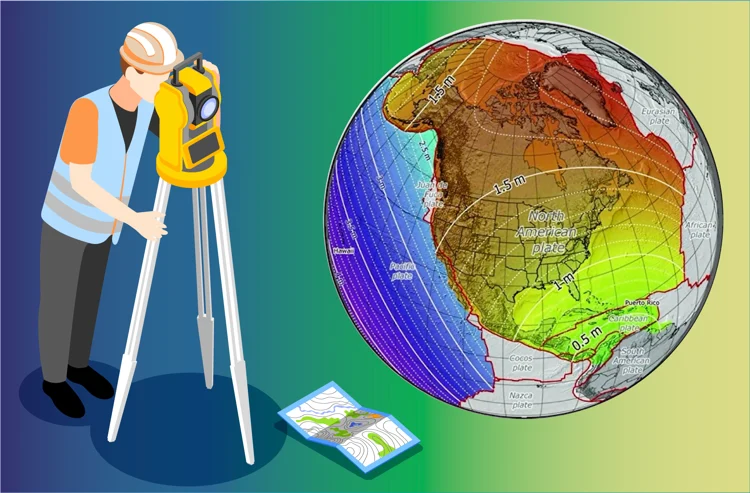
What the move from NAD83 to NATRF2022 means for GIS practitioners. A conversation with the Nebraska State Surveyor on datums, projections, and the new gravity-based geoid.

Dymaptic has achieved Esri Gold Partner status in the Esri Partner Network, reflecting the company's dedication to excellence in GIS consulting, ArcGIS software development, and client success.

ArcGIS Monitor and ArcGIS Enterprise can send email through Microsoft 365 using a relay server, a third-party service, or Direct Send when standard SMTP is unavailable.

Esri's ArcGIS Hub Specialty recognizes dymaptic's demonstrated expertise implementing ArcGIS Hub for clients including Direct Relief and city government public works departments.

ArcGIS Monitor 2023.3 introduced webhook support for Collections, enabling automated alert notifications. Learn how to connect those webhooks to Microsoft Teams using Microsoft Power Automate.

Dymaptic has earned EDWOSB certification through the U.S. Small Business Administration and the Federal Small Business Specialty within the Esri Partner Network, expanding its ability to serve federal government clients.

Kevin Sadrak, Sr. GIS Developer at dymaptic, used Survey123 Connect to build a fully functional library checkout system in under 15 minutes, demonstrating that Survey123's barcode scanning and JavaScript capabilities extend well beyond traditional GIS workflows.

Learn the key concepts behind ArcGIS Pro Add-In development, including project structure with Config.daml and Module.cs, async threading with QueuedTask.Run(), and the MVVM pattern with WPF data binding.

Dymaptic has been designated an Esri Nonprofit Specialty partner, a global program recognizing Esri partners with demonstrated GIS experience serving nonprofit organizations.

Esri has set a retirement timeline for ArcGIS Web AppBuilder. Why it is retiring, what comes next, and how to migrate your no-code web apps to Experience Builder.

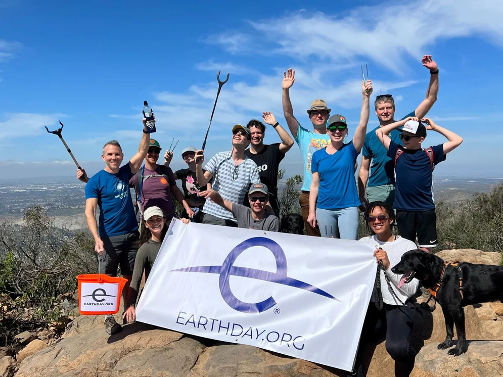
Dymaptic received the Esri GIS for Good Award at the 2023 Esri Partner Conference, recognized for work on the Global Midwives' Hub and EarthDay.Org's Clean-up Events.

How dymaptic built a Survey123 + Python Notebook Autouploader that lets Earth Day organizers bulk-import cleanup events into ArcGIS Online, hands-free.

The dymaptic team explored six practical ways GIS professionals can use ChatGPT to choose the right tool, learn app features, compare platforms, write basic scripts, and more.

Esri featured dymaptic's ArcGIS Monitor implementation for the City of Houston Public Works, highlighting real-time visibility across more than 100 geospatial services.

ArcGIS Monitor can be configured to monitor Windows scheduled tasks using Esri's Python Extension sample code, modified to query the Windows Task Scheduler via the win32com library.

Learn how to send customized ArcGIS Monitor notifications to Microsoft Teams using incoming webhooks, the pymsteams Python module, and Windows Task Scheduler for automated delivery.

Learn how to route ArcGIS Monitor alert notifications directly into Microsoft Teams channels using each channel's built-in email address, with no additional tools required.

Dymaptic has received WBE certification from the Women's Business Enterprise National Council (WBENC), the largest third-party certifier of women-owned businesses in the U.S.

Esri, the global leader in GIS, recently appointed dymaptic an Esri Silver Partner, recognizing the company's expertise in ArcGIS products, commitment to customer success, and continued growth as a woman-owned GIS services provider.

Walk through a real pipeline inspection project to learn how to write complex formulas in Survey123 using the XLSForm expression language, including converting distance measurements to degrees and clock positions.

Esri's redesigned ArcGIS Online Map Viewer Beta introduces group layers, multiple labels, popup docking, instant preview, improved bookmarks, and a modern UI that has the dymaptic team excited.

Esri ended ArcMap development at version 10.8.1. What that means for your AddIns, your VBA, your Python scripts, and how to plan an ArcGIS Pro migration.

Too much software magic can cause real problems. The Anti-Magic Principle says software should do the simple, expected thing, not try to interpret what the user means.

The Joel Test is a 12-question checklist for assessing software development team quality. Here is how dymaptic scores and what each question means in practice.
Whether you need geospatial AI strategy, ArcGIS development, or GIS administration, dymaptic is ready to help.
Contact dymaptic to discuss your next geospatial project.
The GIS Data Librarian
Findria is an AI-powered GIS data search tool that lets users describe what they want to accomplish in natural language. Instead of navigating complex catalogs or knowing exact dataset names, simply tell Findria what you need — and it finds the right geospatial data for you.
Whether you're looking for flood zones, parcel boundaries, or environmental data, Findria understands your intent and connects you with the most relevant datasets from your organization's data library.
Try Findria