State & Local Government
From sidewalk equity analysis to floodplain mapping, dymaptic builds AI-first geospatial solutions for the challenges public agencies face every day. Our experience working directly with city, county, and state teams means we understand how government works, and we build solutions designed to integrate with existing systems and procurement requirements.
GIS Solutions for Public Agencies
We work across the full range of government functions, bringing geospatial expertise and AI to the areas where it matters most.
Public Works & Infrastructure
Dymaptic builds GIS applications for asset management, sidewalk and ADA compliance tracking, pavement condition analysis, and utility infrastructure mapping, helping public works departments maintain and prioritize investments.
Emergency Management
From floodplain mapping to real-time incident tracking, dymaptic provides geospatial tools that help emergency management agencies prepare for, respond to, and recover from natural disasters and critical events.
Urban Planning & Zoning
The dymaptic team develops spatial analysis tools and interactive mapping applications that support land use planning, zoning review, community engagement, and growth impact assessments for planning departments.
Equity & Social Vulnerability
Dymaptic creates GIS-driven equity analysis tools that overlay infrastructure data with social vulnerability indices, enabling agencies to prioritize improvements in underserved communities and demonstrate compliance with equity mandates.
Permitting & Inspections
GIS-integrated permitting systems built by dymaptic streamline application review, automate spatial compliance checks, and provide field inspectors with mobile mapping tools that sync with enterprise GIS databases.
GIS System Administration
Dymaptic provides ongoing ArcGIS Enterprise administration services for government agencies, including portal management, server optimization, automated publishing workflows, and user access governance.
Why Government Agencies Choose Dymaptic
Dymaptic delivers ArcGIS solutions that fit how public sector organizations actually work, on time, on budget, and within existing infrastructure.
Esri State & Local Government Specialty
Recognized expertise in ArcGIS deployments for public agencies and municipalities.
Over 90% Client Return Rate
Government agencies come back because projects are delivered on time, on budget, and with lasting impact.
Woman-Owned Small Business
WBENC and SBA certified, meeting diversity contracting requirements for government procurement.
Free GIS System Check
Many government agencies get started with dymaptic through a free assessment of their GIS environment. Whether you're exploring modernization options, planning an Enterprise upgrade, or just want a second opinion on your current setup, we're here to help.
Contracting Vehicles
Dymaptic is available through cooperative purchasing contracts that simplify procurement for government agencies. These pre-competed contracts mean your agency can engage dymaptic without a lengthy RFP process.
TIPS (The Interlocal Purchasing System)
National cooperative purchasing program for government entities, education institutions, and nonprofits.
View vendor profileTexas DIR (Department of Information Resources)
Approved vendor for Texas state agencies, local governments, and public education institutions.
Learn moreMetro (Portland, OR) Cooperative Procurement
Services contract with cooperative procurement provisions for Oregon public agencies.
Success Stories
See how dymaptic has helped government agencies solve real geospatial challenges.
 GIS Administration
FEMA Floodplain GIS Data Download Automation
Local Government Entity
Manual floodplain data updates create unnecessary overhead for local government staff, so dymaptic built an automated Python solution that keeps the data current without any staff involvement.
Read case study GIS Administration
ArcGIS Enterprise Overhaul for Portland, Tennessee
City of Portland, Tennessee
dymaptic helped the City of Portland, Tennessee rebuild their utilities department's ArcGIS Enterprise environment from the ground up, resolving licensing issues, recovering buried data, and training the GIS administrator to manage the system independently.
Read case studyRelated Reading

The Clock Is Ticking: New ADA Web Content Rules Are Coming
What state and local agencies need to know about the April 2026 ADA map accessibility deadline.
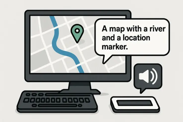
Accessible Map Agent: AI-Powered ArcGIS Map Accessibility
How dymaptic's AI tool helps government agencies generate compliant map descriptions in seconds.
Ready to Modernize Your Agency's GIS?
Tell us what your agency is working to solve. We'll help you map the route.