Accessible Map Agent: dymaptic's AI-Powered Solution for ArcGIS Map Accessibility
New AI-powered tool helps organizations generate accessible, meaningful map descriptions
Just because a man lacks the use of his eyes doesn’t mean he lacks vision. — Stevie Wonder
Portland, OR - January 05, 2026
Today, dymaptic announced the launch of Accessible Map Agent, an AI-powered solution designed to make ArcGIS-based maps more accessible and understandable to a wider range of users.
Quick Summary
- Accessible Map Agent is an AI tool that generates alternative text for ArcGIS maps
- Designed to meet updated ADA web accessibility requirements for state and local governments
- Works with ArcGIS web maps, dashboards, and StoryMaps
- Free trials are available now at accessibility.dymaptic.ai
What Is Dymaptic’s Accessible Map Agent?
The tool addresses one of the most persistent challenges in digital accessibility: enabling complex, highly visual spatial content to be meaningfully accessed by people who cannot rely on visual interaction alone.
Why Do ArcGIS Maps Need Accessibility Tools?
As updated ADA web accessibility requirements take effect for state and local governments, maps have emerged as one of the most difficult content types to remediate at scale. While maps play a critical role in public communication around infrastructure, emergency response, health equity, and land use, they are primarily visual and often inaccessible to people using screen readers or those without GIS expertise.
So How Does Accessible Map Agent Actually Work?
The tool connects directly to ArcGIS content using ArcGIS authentication and analyzes:
- Map layers
- Symbology
- Visible extent
- Metadata
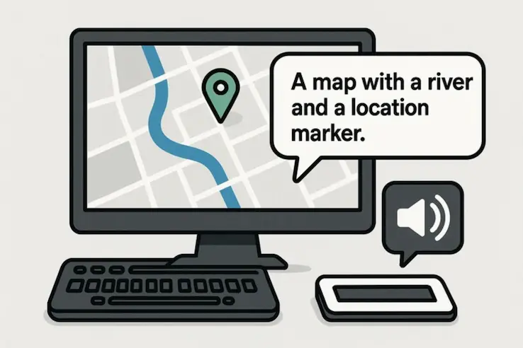
ArcGIS map accessibility is a core focus of dymaptic’s AI development. Using the analyzed content, dymaptic’s new Accessible Map Agent generates structured ArcGIS map descriptions that are human-readable alternative text that communicates meaning, rather than appearance alone. This allows organizations to provide equivalent access to spatial information without changing how their maps are built or maintained.
“Accessibility is not just about compliance, it’s about understanding,” said Christopher Moravec, CTO of dymaptic. “Government agencies face real pressure to make their digital content accessible, but most do not have the time to write meaningful descriptions for every map they publish. Accessible Map Agent lets teams generate clear, compliant map descriptions in seconds instead of hours, so they can focus on serving their communities rather than worrying about accessibility deadlines.”
Who Benefits Most from Dymaptic’s Accessible Map Agent?
Accessible Map Agent has been applied across a range of ArcGIS web maps, dashboards, and StoryMaps to support more inclusive data storytelling. In addition to serving blind and low-vision users, the generated descriptions help members of the public better understand spatial patterns and insights, expanding the reach and impact of geospatial content.
Frequently Asked Questions
Does Accessible Map Agent require changes to existing ArcGIS maps? No. Accessible Map Agent generates descriptions without requiring any changes to how maps are built or maintained.
How long does it take to generate a map description? Accessible Map Agent generates compliant map descriptions in seconds rather than hours.
Is Accessible Map Agent available to try for free? Yes, free trials are available. For more information or to request a demo, visit https://accessibility.dymaptic.ai/ or .
About Dymaptic
As a geospatial technology firm and Esri Gold Partner, dymaptic specializes in GIS, custom software development, and AI-enabled solutions that support accessible, data-driven decision-making. Working with public sector organizations, nonprofits, and mission-driven teams, dymaptic’s mission is to build inclusive, scalable mapping tools that help people better understand and act on spatial information.
Ready to Make Your Maps Accessible?
Try the Accessible Map Agent free and start generating meaningful map descriptions in seconds.