Credentials & Recognition
As a certified woman-owned business and Esri Gold Partner, dymaptic has earned recognition through consistent delivery, deep expertise, and a genuine commitment to our clients and the broader geospatial community.
Awards & Recognition
Dymaptic's work goes beyond the map. Esri and the broader technology community have recognized that work for impact, innovation, and commitment to social good.


Esri Partner Award — GIS for Good
In 2023, dymaptic received the Esri Partner Award for GIS for Good at the Esri Partner Conference. The award recognized two mission-driven projects: the Global Midwives Hub, a geospatial platform supporting midwives and maternal health advocates worldwide, and a geospatial solution built for EarthDay.org to support their global clean-up programming.
Learn more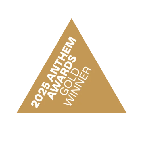
Gold Anthem Award — Global Midwives Hub
The Global Midwives Hub, built by dymaptic for the International Confederation of Midwives, received a 2025 Gold Anthem Award for Best Use of Data in Health. Developed in collaboration with an international team of partners, the Hub gives midwives, advocates, policymakers, and researchers access to the location data needed to strengthen health systems worldwide.
Learn moreFeatured on the Esri Plenary Stage
At the 2024 Esri Partner Conference, dymaptic was invited to present on the plenary stage, joining a select group among Esri's 3,000+ global partners. Showcased that year was the Sidewalk Equity project built for the City of Houston Public Works: a data-driven Social Vulnerability Index application designed to help city officials prioritize sidewalk investments based on community need and equity data.


Esri Gold Partner
As a Gold-tier member of the Esri Partner Network, dymaptic has demonstrated deep expertise in ArcGIS technology, a proven track record of successful implementations, and a strong commitment to the geospatial community. This partnership ensures our clients benefit from the latest tools, training, and direct collaboration with Esri.
View our Esri Partner profileEsri Specialties
Dymaptic holds multiple Esri specialties, each validated through rigorous technical review and real-world project delivery.


Esri recognizes dymaptic for delivering impactful geospatial solutions to nonprofit organizations, helping mission-driven groups leverage GIS for social good.


This specialty validates dymaptic's proven experience implementing ArcGIS solutions for state and local government agencies, from public works to emergency management.


Esri has validated dymaptic as a small business partner capable of delivering ArcGIS solutions to U.S. federal agencies under small business contracting programs.
Certifications
Dymaptic is a proud certified woman-owned small business, recognized by national and state certifying organizations.
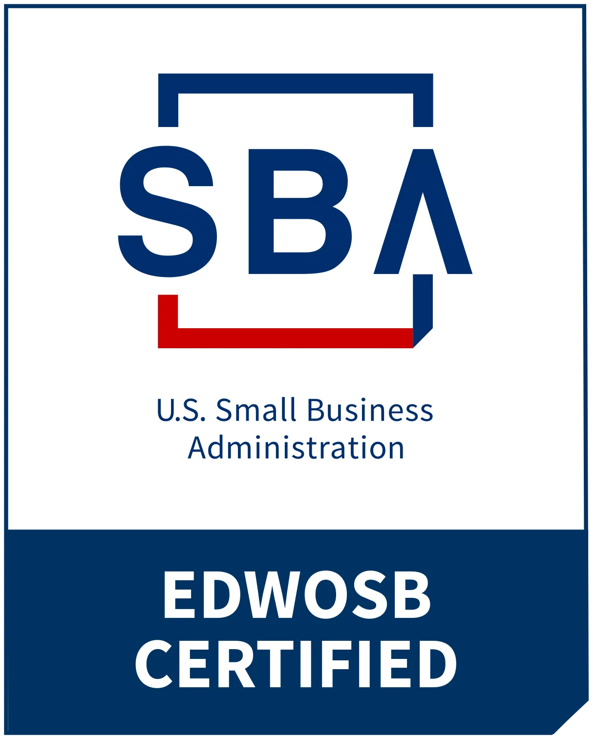
EDWOSB — SBA
Certified as an Economically Disadvantaged Women-Owned Small Business through the U.S. Small Business Administration.

WBE — Oregon COBID
Certified Women's Business Enterprise by the State of Oregon's Certification Office for Business Inclusion and Diversity.

WBE — Kentucky
Certified Women's Business Enterprise by the Commonwealth of Kentucky.


WBE — WBENC
Nationally certified as a Women's Business Enterprise by the Women's Business Enterprise National Council.


WOSB — WBENC
Certified as a Women-Owned Small Business through the Women's Business Enterprise National Council.
Team Certifications
Dymaptic team members hold individual certifications that demonstrate deep technical proficiency across the Esri platform.

ArcGIS Enterprise Administration
Validates expertise in installing, configuring, and managing ArcGIS Enterprise deployments, including portal administration, server federation, and data store management.
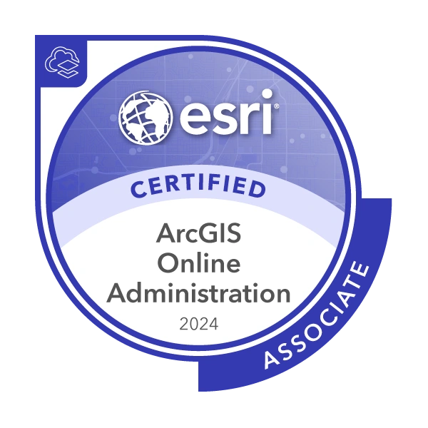
ArcGIS Online Administration
Demonstrates proficiency in managing ArcGIS Online organizations, including user management, content curation, security configuration, and credit budgeting.
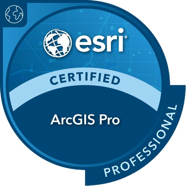
ArcGIS Pro Professional
Certifies advanced skills in ArcGIS Pro for spatial analysis, cartography, data management, geoprocessing, and 3D visualization workflows.
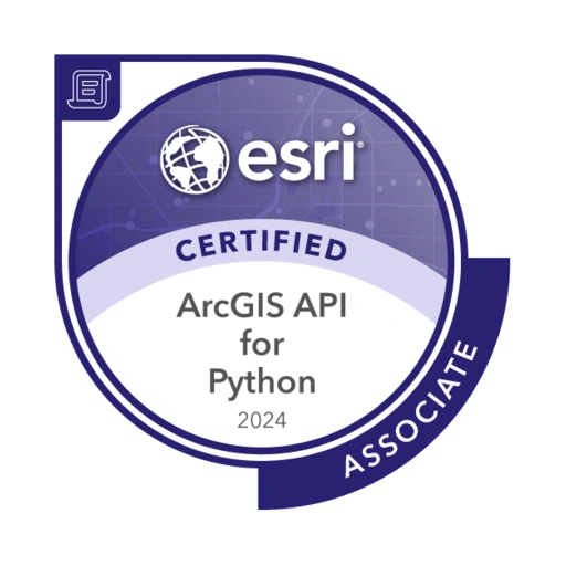
ArcGIS API for Python
Confirms proficiency in using the ArcGIS API for Python to automate GIS workflows, manage geospatial content, and perform data science and spatial analysis tasks.
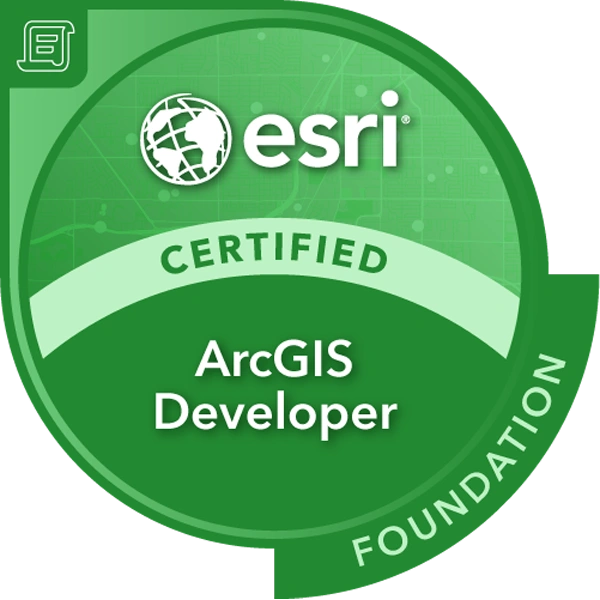
ArcGIS Developer Foundation
Validates foundational knowledge of ArcGIS developer tools, APIs, and SDKs for building custom geospatial applications and location-based services.
GISP®
The Geographic Information Systems Professional certification recognizes demonstrated competence in GIS through a combination of education, professional experience, and contributions to the profession.
Frequently Asked Questions
What does Esri Gold Partner mean?
What Esri specialties does dymaptic hold?
How can government agencies procure dymaptic services?
What is the WBENC certification?
Ready to Work with a Certified Geospatial Partner?
Tell us what you're trying to solve, and we'll help you map the route.