The Challenge
Metro's Data Resource Center had no structured way to identify which of its GIS and data workflows AI could realistically improve, or to validate that any proposed use worked before investing further. The center needed a disciplined process, not a one-off pilot, to separate genuine opportunities from novelty.
Our Solution
Based on the phased approach, dymaptic delivered:
- A discovery phase that identified and ranked opportunities such as verifying authoritative datasets, developer workflows, vacant-lands analysis and ingesting niche documentation on an effort/value matrix.
- Deep-dive analyses of the selected opportunities, defining how each AI workflow would work before any of it was built. From those, Metro selected schools data verification for the optional prototype phase.
- A working proof-of-concept: a large language model (Anthropic's Claude Opus) verifying Metro's authoritative schools layer in ArcGIS against live web sources, checking all 1,059 records in a single automated pass with every result sourced and confidence-scored, and validated through manual QC across multiple runs.
- Documentation of the prototype and its results, plus a defined path from prototype to production.
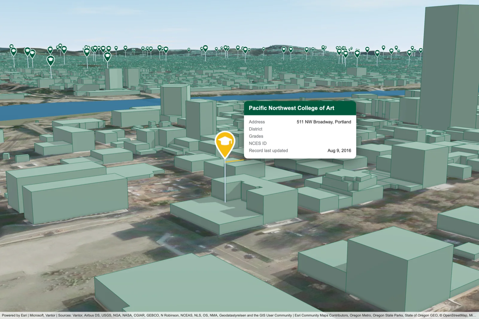
A school from Metro's Portland schools data, mapped in 3D in ArcGIS
The Impact
Metro now has a proven, working AI workflow built on a real dataset rather than an open question about where AI could help. The schools-layer prototype means the verification task that would have taken weeks to complete by hand can be done in a day or two, with high-quality suggested edits that staff can review, correct, and push to production as appropriate. The assessment also gave Metro a repeatable, gated method for identifying and validating AI opportunities and a reusable pattern for keeping authoritative ArcGIS data accurate, with that path to production now mapped across its ArcGIS Online and Enterprise environments.