FEMA Floodplain GIS Data Download Automation
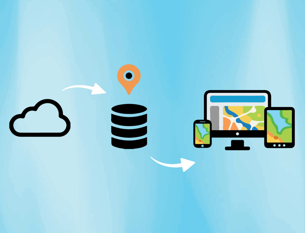
Local governments need to work with relevant data from many different sources and stay apprised of changes to that data. One large municipal government that we serve employs an ArcGIS enterprise geodatabase to store their in-house geographic data as well as select datasets from third parties. To make floodplain data readily available within their organization, […]
FEMA Floodplain GIS Data Download Automation Read More »


