Products

PUT MAPS IN YOUR BLAZOR APPS
With GeoBlazor, you have access to the world’s most powerful and versatile web mapping SDK, the
the ArcGIS Maps SDK for JavaScript but without having to write a single line of JavaScript.
HOW CAN WE HELP?
Feel free to reach out with any questions, comments, suggestions, or requests. We are GIS nerds and love all GIS questions, even if not specifically about GeoBlazor.

FEATURES
Layers
Create or load GIS data from a variety of local and hosted sources.
Geometries
Render and manipulate points, lines, and polygons using custom colors, icons, and images.
Popups
Display detailed data on any map feature.
Renderers
Custom images, icons, or drawings to display any map geometry.
Symbols
Graphic representation of a point, line, or polygon.
Widgets
Custom tools for displaying and manipulating GIS data.
Events
Listen and react to user inputs with custom event handlers.
Tools
Advanced features for performing calculations on GIS data, such as changing a mapping projection.
LICENSE LEVEL
The FREE, open-source option provides the mapping functionality most developers will need plus
some of the most common mapping widgets. For additional features, the Pro license offers advanced
GIS functionality, analysis, operations, and advanced widgets.
CORE
-
Basic Layers and Widgets
-
Feature Querying and Rendering
-
Community Support
PRO
-
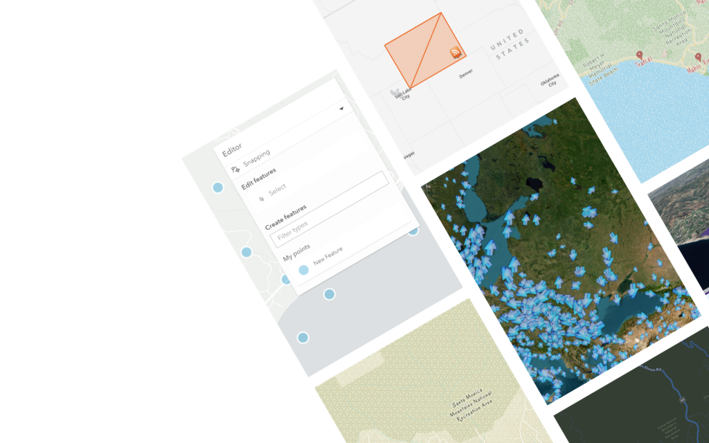
Feature Editing and Sketching
-
Advanced Widgets and Services
-
Premium Support

STAY IN THE KNOW
New features and bug fixes as well as additional samples are added on a regular basis. Be the first to know when a new release is available by subscribing to our notifications.
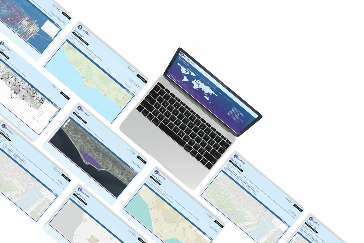
The GeoBlazor samples showcase how easy it is to use the library and
add mapping and GIS functionality to your apps.
Simply copy the code into your app and you’ll have maps in no time.


Support Dymaptic’s work on the open-source API GeoBlazor and help advance the development of mapping applications using Blazor!
